
DestinE Uses

Machine Learning Demonstrator – Freshwater temperature
Main contractor: PropheSea What is it? Global data centre facilities are projected to experience high water stress in the future. Critical industries such as thermal and
Machine Learning Demonstrator –Enhancing Data Usability with AI-based Multi-Model Data Fusion for DestinE
Enhancing data usability with AI-based Multi Model Data Fusion
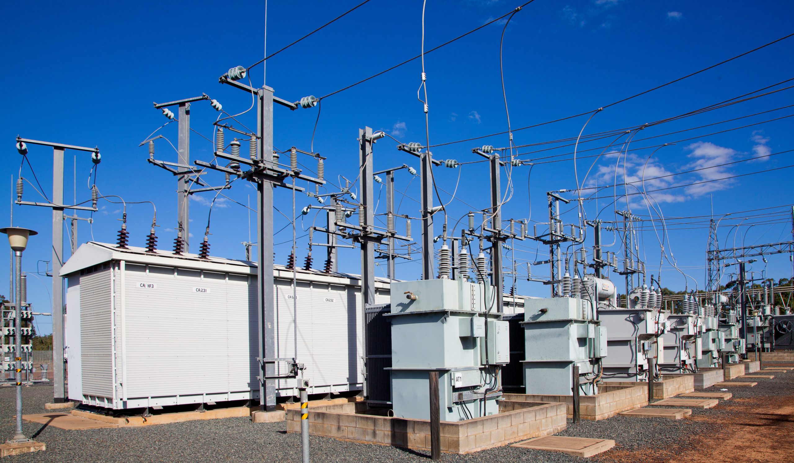
Machine Learning Demonstrator – Energy Systems
Supporting decision-making in grid planning.

Pilot Service Urban Heat – Bringing climate insights to the neighbourhood scale
Delivering local climate information for cities to mitigate and adapt to the impacts of climate change.

Pilot Service – Supporting European Farmers’ Decisions in Perennial Agriculture
Climate information tailored to the specific needs of agriculture in Italy,

Pilot Service – Marine Safety for the Energy Industry
Providing enhanced wave and vessel icing forecasts for the Barents Sea

Pilot Service – Tide and Surge Forecast, Flood forecasting in Philippines and Global Ship Route Optimization
Tide and surge global forecasts, flood forecast for Philippines

Pilot Service – High-Resolution Precipitation-to-Flood Signals
High-resolution precipitation forecasts using Destination Earth
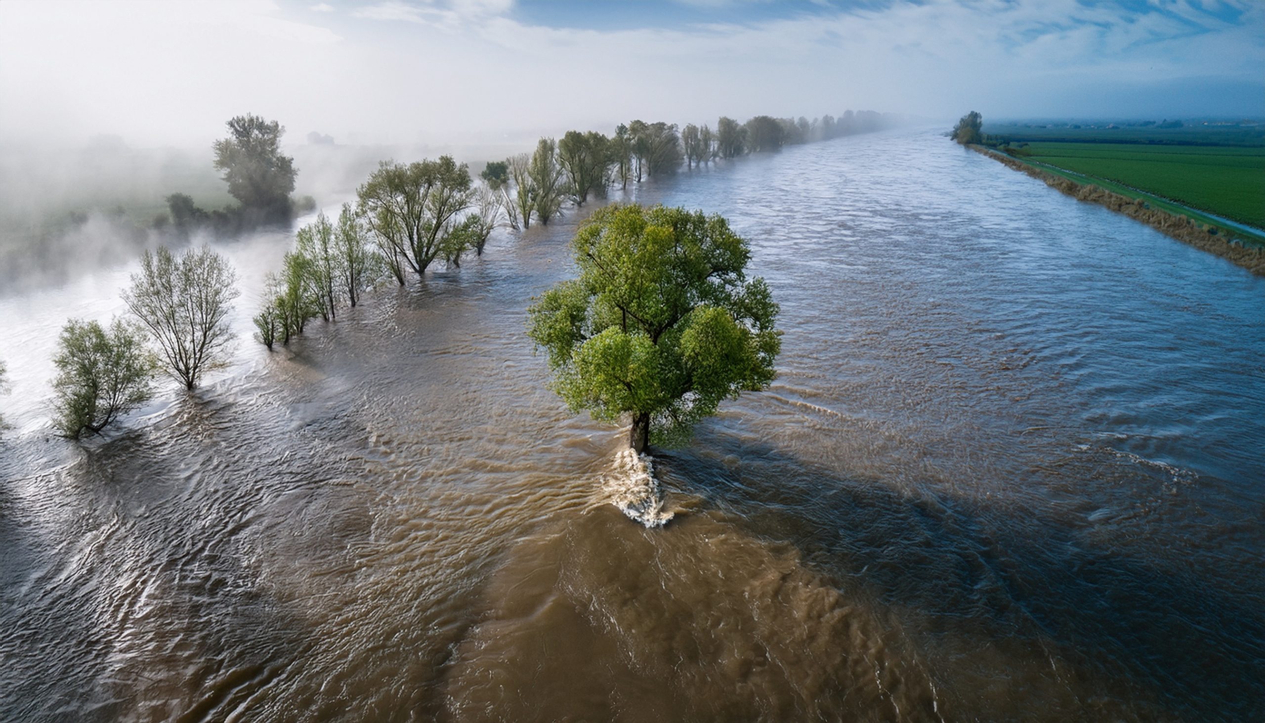
Machine Learning Demonstrator for rainfall-induced floods
Providing accurate flooding information.

Pilot Service Dynamic Line Rating
Improving the Dynamic Line Rating energy transmission applications.
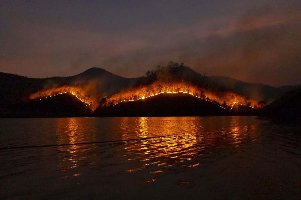
Wildfires Evolution
September 2022 - April 2028
Providing a refined view of wildfire risks in a changing climate.
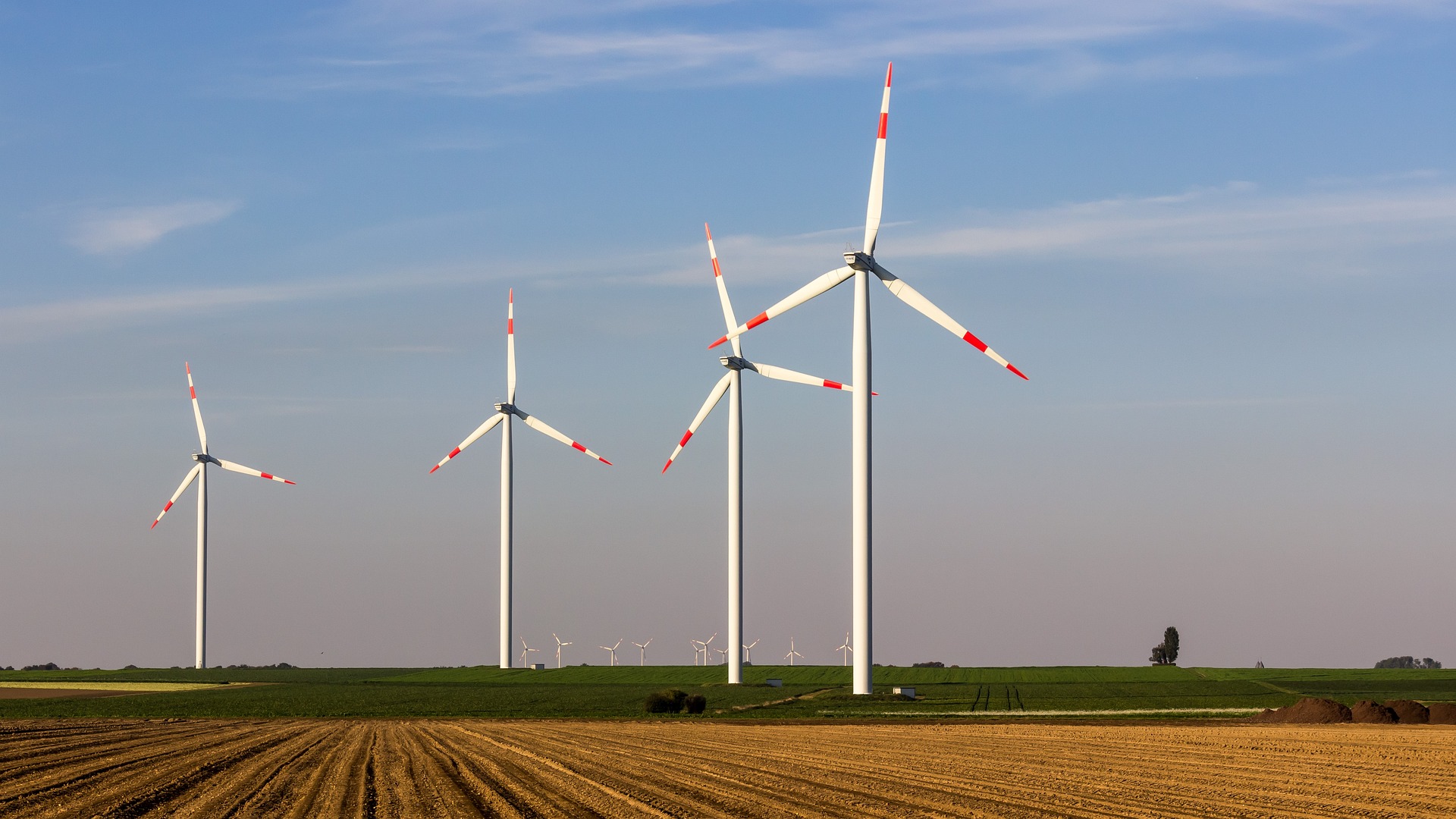
Onshore & Offshore Wind Energy Information
September 2022 - April 2026
Providing information on key global indicators relevant to the wind farm industry at various temporal and spatial scales.